Flooding Events/Nuisance Flooding
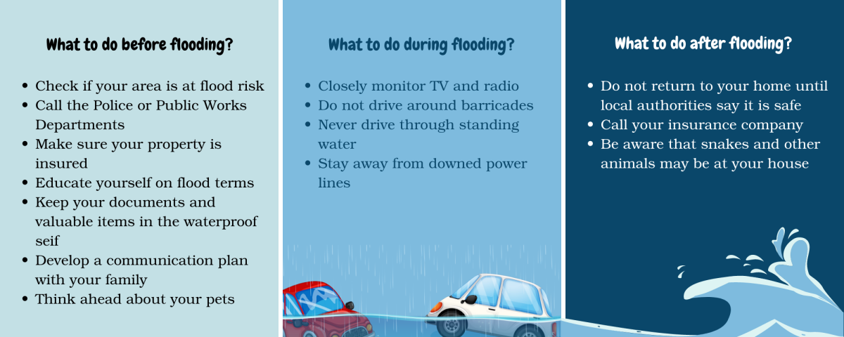
The Town of Kennebunkport wants to ensure that all our citizens and visitors are fully aware of the hazards related to flooding. As a coastal community we are susceptible to flooding, especially street flooding during higher tides and storm surges. Over the past several years, we have been experiencing these types of flooding events on a more frequent basis. The information included on this page will help you understand and prepare for potential flooding.

Flood Prone Areas in Kennebunkport
The following streets are likely to flood during a storm surge and/or high tide. In the case that they do flood, these roads will be closed for about 2-3 hours and will be inaccessible at those times. This list is our estimation of flooding. Other areas may be affected and we encourage you to be aware of flood plains near you.
Clicking on the name of each area will bring up the map of that section, showing the areas likely to experience flooding.
- 01 - Dock Square
- 02 - Ocean Avenue (from the Yachtsman to before the Nonantum)
- 03 - Ocean Avenue (from after the Nonantum to Chick’s Creek)
- 04 - Ocean Ave St. Anne’s
- 05 - Ocean Ave near the Bush Compound
- 06 - Ocean Avenue Wandby Landing
- 07 - Head of the Harbor
- 08 - Pier Road Causeway
- 09a - Dyke Road Buzzys Way
- 09b - Dyke Road Middle
- 09c - Dyke Road King's Highway
- 10 - East End of King’s Highway
The map below also shows the locations of these high-risk areas. Clicking on the outline will open a more focused map showing the areas likely to experience flooding.
Kennebunkport Tide Chart
Related resources:
- Maine Emergency Management Agency on Flooding
- Interactive Map of Sea Level Rise/Storm Surge in Maine
- Hazard Mitigation plan as part of our 2030 Comprehensive Plan
- Sign up for York County Emergency Management Agency RAVE Alert System
- Ready.gov Information about floods and preparing for flooding
- Preparing for a flood from Floodsmart.gov

